A new study co-authored by World Wildlife Fund, Ecoexist, and Elephant Connection, reveals the largest ever GPS tracking database of elephant movement across Southern Africa.
Published September 9, 2024, in the Journal of Applied Ecology, the analysis is based on approximately 4 million GPS locations logged from nearly 300 tagged elephants and their associated herds traveling throughout the world’s largest land-based transboundary conservation area, the Kavango-Zambezi Transfrontier Conservation Area (KAZA), between 2009 and 2023.
What is KAZA?
In 2011, Angola, Botswana, Namibia, Zambia and Zimbabwe committed to collectively manage a valuable and biodiverse 106 million-acre, or 200,000 square mile region, nearly the size of France, allowing the movement of wildlife across international boundaries between protected areas, to improve dispersal opportunities and increase their chance of survival.
The Zambezi, Kwando, and Okavango rivers flow through the region. Woodlands, wetlands and grasslands provide critical habitat for lions, wild dogs, and the planet’s largest population of savanna elephants.
At the heart of the KAZA vision is the premise that conservation of the region’s rich natural resources can be the economic driver of a region, resulting in thriving landscapes where wildlife and communities coexist.
These countries converge in the Kavango and Zambezi river basins, creating a vast conservation and ecotourism destination. KAZA includes several national parks and natural wonders like the Okavango Delta and Victoria Falls.
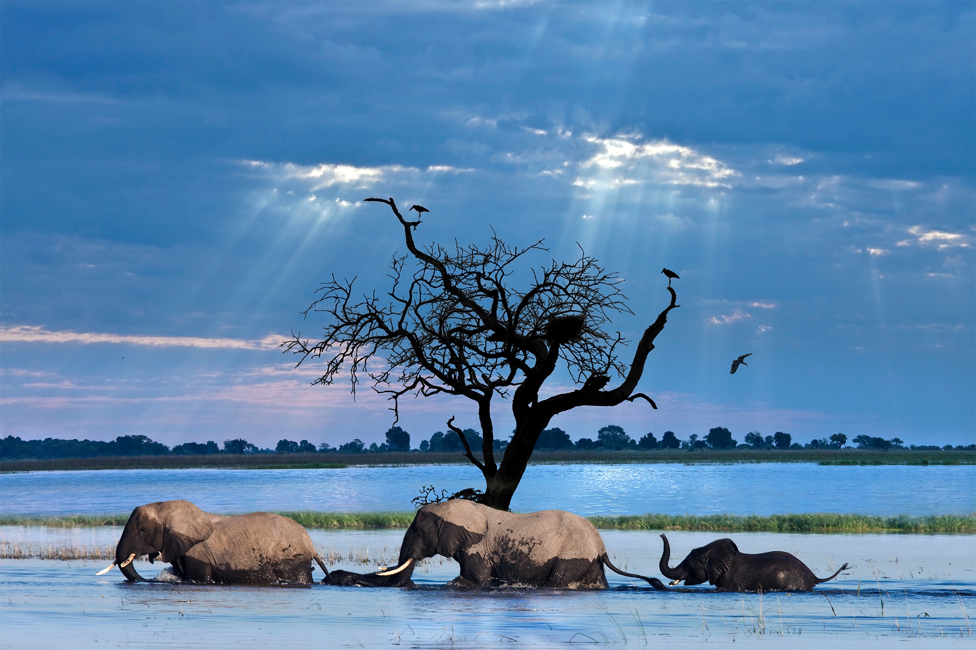
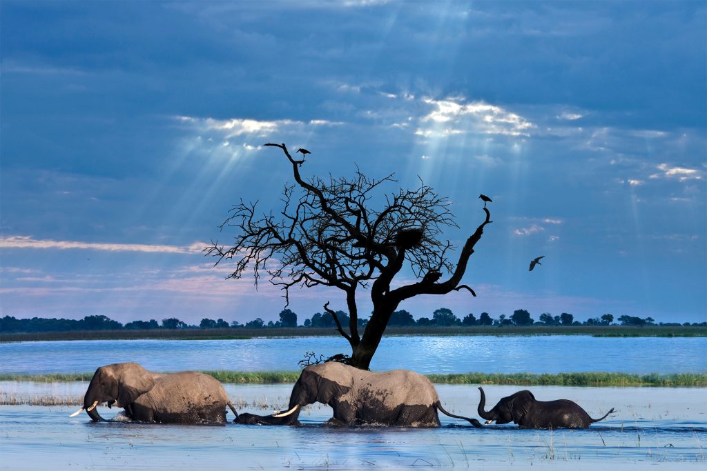
Chobe River, Chobe National Park, Botswana
What are the benefits of large-scale transboundary collaboration?
Transboundary collaboration and the creation of wildlife corridors like KAZA offer numerous conservation benefits:
- Enhanced Biodiversity Conservation: By pooling resources and coordinating efforts, countries can more effectively protect and manage biodiversity. KAZA is dedicated to conserving a wide range of species, including the world’s largest population of savanna elephants and significant populations of lions, wild dogs, and cheetahs. This is particularly important for migratory species that move across national borders.
- Landscape Connectivity: Wildlife corridors facilitate the movement of species, crucial for maintaining genetic diversity, enabling seasonal migrations, and allowing animals to adapt to climate change by moving to more suitable habitats.
KAZA provides critical habitat that allows wildlife to move across borders and between protected areas, which is essential for maintaining genetic diversity and ecosystem health.
On this topic, I always think of Jane Goodall’s film, The Hope. In the period where she’s describing her transition from researcher in the bush to activist and public advocate for chimpanzees, she says, “One of the biggest problems today in conservation is the fragmentation of habitat. Populations isolated from other populations need to be genetically viable. Corridors allow connectivity. Local communities see value of it to their own future (water, education, etc.)” - Ecosystem Functioning: Transboundary conservation areas (TBCAs) support ecosystem processes such as nutrient cycling, water flow, and species dispersal, which are essential for the health of the environment.
- Political and Social Cooperation: Establishing TBCAs can strengthen relationships between neighboring countries and communities, fostering peace and cooperation through a shared commitment to conservation.
- Expanded Protected Areas: Transboundary conservation can lead to the expansion of protected areas, which is vital for the long-term survival of many species and the reduction of habitat fragmentation.
- Sustainable Development: These initiatives often promote sustainable economic development by integrating conservation with other land uses, such as ecotourism, which can provide income for local communities while preserving natural resources.
KAZA’s woodlands, wetlands, rivers, and grasslands support not only wildlife but also the local communities that depend on these ecosystems for their livelihoods. - Research Opportunities: Scientists benefit from the larger, more diverse landscapes of TBCAs, which provide greater opportunities for research and monitoring of ecological processes and wildlife populations. That’s exactly what’s happened in the case of this WWF study.
- Climate Resilience: By maintaining larger, connected ecosystems, TBCAs can enhance the resilience of natural systems to withstand and adapt to the impacts of climate change.
Transboundary collaboration in conservation leads to more effective environmental stewardship, promotes peace and cooperation, and supports sustainable development, all while providing critical habitats for a wide range of species.

Why map wildlife movement?
WWF author Callie Cho explains, “Mapping current migration patterns is a crucial first step toward creating effective conservation strategies and protecting these critical animal movements.”
In the same week that the KAZA elephant study was released, WWF shared a new global digital atlas of Earth’s zebra and other ungulate populations—The Global Initiative for Ungulate Migration (GIUM). The maps showcase the movements of various species, including Tibetan antelope, reindeer, and guanaco.
From wildebeest in the Serengeti to caribou in the Arctic tundra and zebra in Namibia, ungulates across the globe complete some of the animal kingdom’s most impressive land-based migrations.
Ungulate migrations play a crucial role in shaping ecosystems:
- supporting large, healthy herds
- providing essential prey for predators and scavengers,
- helping to sustain biodiversity on land, and
- creating unique conditions that support diverse plants and animals.
For thousands of years, these migrations have been vital to human survival, creating deep cultural connections with Indigenous and local communities. But ungulate migrations are disappearing rapidly.
Despite their importance, ungulate migrations are in peril due to human activity. Poorly planned infrastructure (roads, fences), agriculture, and settlements fragment landscapes and create deadly obstacles for migrating herds.
Limited mapping of migrations has hampered ungulate migration management and conservation. By combining animal tracking data, historical records, and the knowledge of local and Indigenous communities, scientists are building a global migration atlas—a powerful tool for driving conservation efforts and informing policy at all levels.
The Global Initiative for Ungulate Migration (GIUM) was launched in 2020, uniting over 80 scientists worldwide to map and analyze ungulate movements. Their efforts culminated in this interactive atlas which highlights high, medium, and low-use migration corridors for a diverse range of species.
Crucially, the map pinpoints where these routes intersect with human-made barriers like roads and railways to guide conservation efforts, infrastructure planning, and policy decisions with cutting-edge data on ungulate travel patterns.

Where did the KAZA elephants go?
Extensive elephant GPS data can provide much the same guidance in and around KAZA. It turns out elephants rely on multiple methods to move around the region.
The data showed that in KAZA elephants use:
- micro-corridors,
- protected area pathways and
- macro-corridors to move across the transborder landscape.
These corridors and pathways are essential for elephants and other species to access water and avoid direct contact with human settlements. Now we have a map for them.
The main breakthrough of the study, though, may be in the new way—or scale—of seeing and mapping movement.
WWF Lead Wildlife Scientist and primary author Robin Naidoo said:
Our study has provided a first of its kind movement-based conservation blueprint for elephants in KAZA. A key aspect of conservation is understanding and securing landscape connectivity. However, small sample sizes have prevented researchers and policymakers from developing comprehensive connectivity conservation plans based on animal movements in the KAZA region, until now.

The Scale is Unprecedented – New Ways of Seeing
What both the elephant GPS data and GIUM database have in common—in addition to a lead author—is the use of new data measurement and management tools to envision wildlife movements on a an unprecedented scale.
Recently at the Mountainfilm Festival in Telluride, on a couple different panels, conservationists, explorers and filmmakers boldly proclaimed that we are living in a Great Age of Discovery and Exploration.
It might seem counterintuitive in this day and age. I’ll confess: I was skeptical.
They were referring, though, to the transformative impact new technologies, (especially advances in visual imaging, but also DNA sequencing, machine learning and artificial intelligence) are having on exploration and conservation. New technologies are revolutionizing the ways we see, understand and share the world.
These two studies mapping migrations exemplify this new age of discovery. New ways of seeing, tracking, and managing data allow us to “see” wildlife migrations—and collaborate and share the results with others in a way that makes a positive difference.
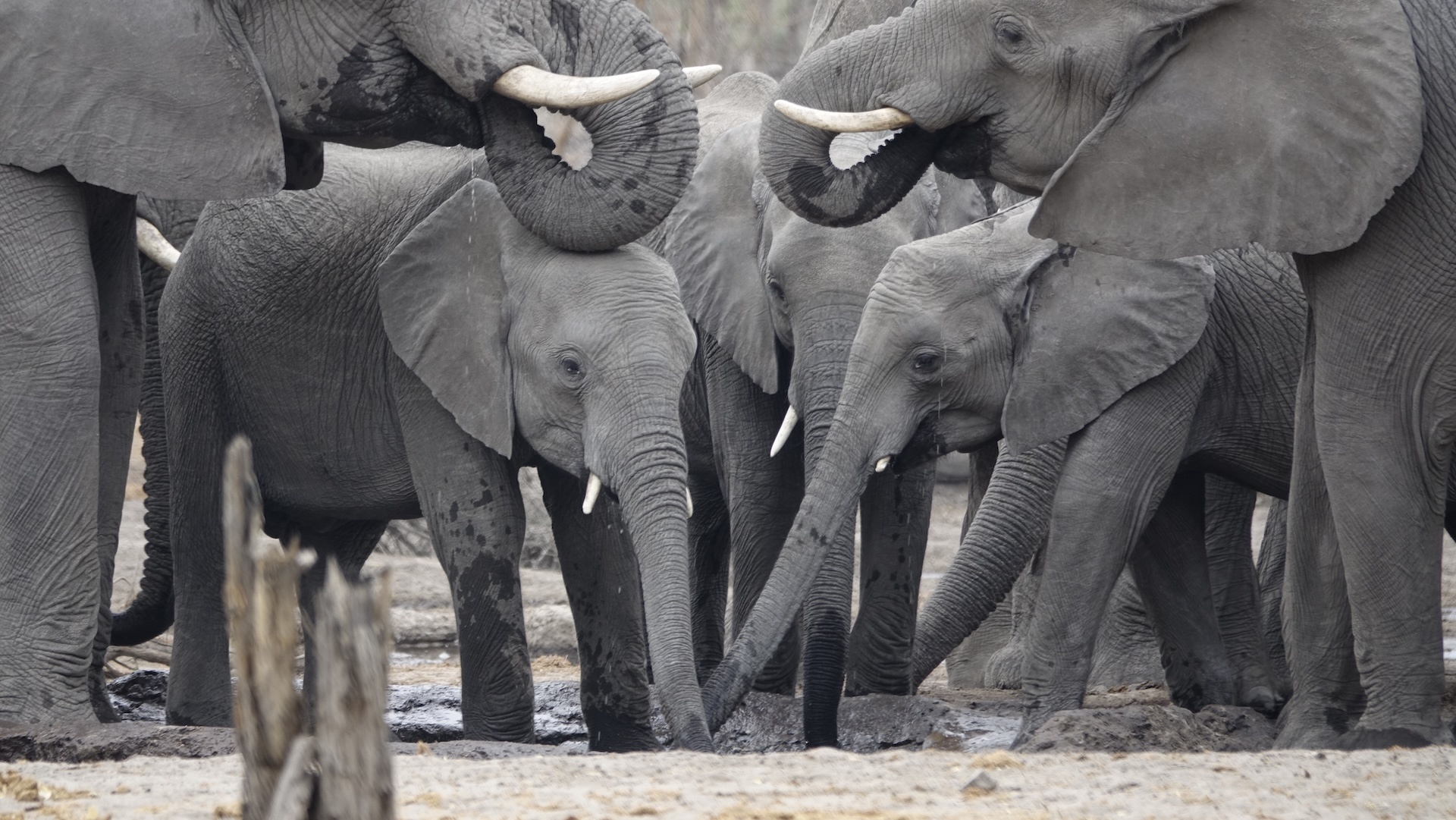
Photographed on Nat Hab’s Secluded Botswana Safari © Joey Sudmeier
Want to see KAZA for yourself?
Whether you’re planning a family safari, a custom safari for your own group, looking for a photo expedition, we’ve got you covered in the KAZA! Nat Hab offers river cruises as well as overland safaris in Botswana, Namibia, Zambia, and Zimbabwe. Check out all of our African safaris here.
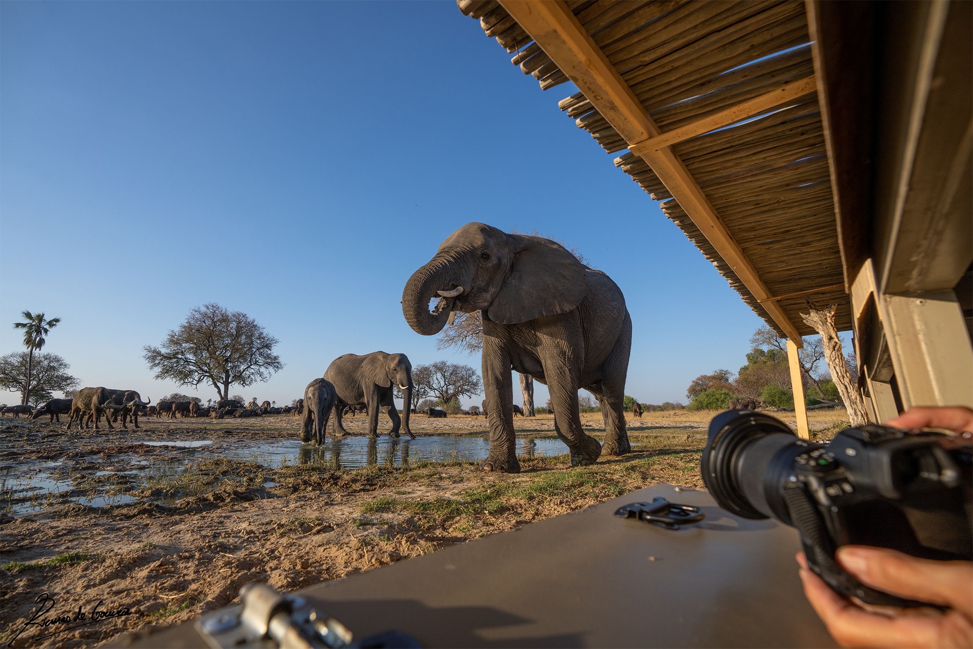
Nat Hab Expedition Leader © Richard de Gouveia
The post 4 Million GPS Data Points: WWF Study Reveals Elephant Migration Corridors first appeared on Good Nature Travel Blog.
